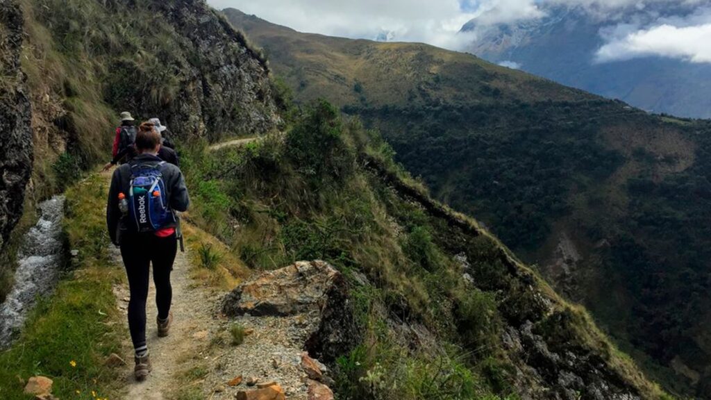
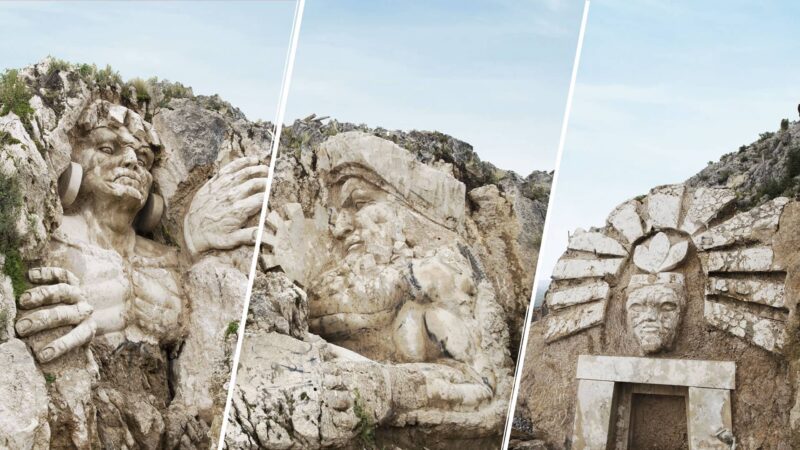
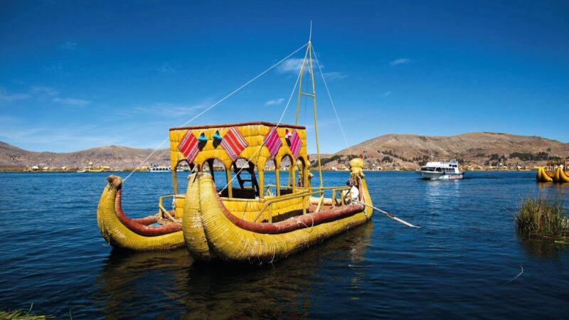
When you start the trek, you will realize that the joy of walking the Inca Trail is not only in physical strength or scenery, the Inca ruins are also spirit and motivation. Cusco is the main tourist destination in Peru and one of the most important destinations in America. Known by the Incas as the “Home of the Gods”, Cusco became the capital of one of the largest pre-Columbian empires: the Tawantinsuyo. Its name in Quechua means “Navel of the World”.
Day 01: Cusco – Wayllabamba.
Between 7:00 am and 7:30 am, we pick you up at your hotel in our own private bus. Then we go to Piskacuchu (2,700 masl / 8,858 feet), a community located at kilometer 82 of the Cusco – Machu Picchu railway. Starting at this point, we cross the bridge and walk along the left bank of the Urubamba River as it flows northwest along the Sacred Valley.
Following the path along a flat terrain, we arrive at Miskay (2,800 masl), to then ascend and finally see, from the highest part of a viewpoint, the Inca city of Patallacta (2,750 masl / 9,022 feet).
We continue walking along the valley created by the Kusichaca River, gradually ascending for about five hours until we reach our first campsite in the town of Wayllabamba (3,000 masl / 9,842 ft).
Along the way, we will see spectacular views of the Vilcanota mountain range on the opposite side of the Urubamba River, where the impressive Veronica peak reigns at 5832 meters above sea level. Not to mention the diversity of wild flora and fauna that can be found throughout the valley.
Día 02: Wayllabamba – Pacaymayo.
Nos levantamos alrededor de las 06:00 am y, después del desayuno, dejamos Wayllabamba para comenzar la parte más difícil de la caminata, que consiste en un ascenso abrupto y empinado que se extiende por 9 km. A lo largo de esta subida, el paisaje cambia de sierra a puna (un área seca y alta con poca vegetación).
En el camino hacia el primer paso de montaña, el Abra Warmihuañusca (Paso de la mujer muerta), vemos llamas y alpacas domesticadas que pastan en el ichu, una de las pocas plantas que crecen a esa altura.
También cruzamos un área del llamado bosque nuboso, que es el hábitat de diferentes tipos de aves como los colibríes y los gorriones y el oso andino, que también se conoce como el oso de anteojos (Tremarctus Ornatus).
Aconsejamos que en este día especialmente, su paquete de día esté bien surtido con dulces, chocolates y hojas de coca que mantendrán su nivel de azúcar alto y le ayudarán con el mal de altura. Inmediatamente después del paso, descendemos al valle de Pacaymayo (3 600 msnm / 11 811 pies), donde acampamos después de aproximadamente 6 horas de caminata.
Day 03: Pacaymayo – Wiñaywayna
This day is the longest, but also the most impressive and the most interesting, due to the number of archaeological sites that we visit and learn from our guide. From Pacaymayo we climb to the second pass, the Abra de Runkurakay (3,970 masl / 13,024 feet).
Halfway, we visit the archaeological complex with the same name. This site, located at 3,800 masl / 12,467 feet, consists of a small oval structure that is believed to have served the purpose of a watchtower. After passing the pass, we descend towards Yanacocha (Laguna Negra) and enter the cloud forest to finally reach Sayacmarca (3,624 masl / 11,889 ft).
This is a beautiful complex formed by a semicircular construction, enclosures at different levels, narrow streets, liturgical fountains, patios and irrigation canals. Continuing with an easy climb, we reach the third pass, the Abra de Phuyupatamarca (3,700 masl / 12,139 feet). Along this ascent we can appreciate the magnitude of the ancient crafts of the Incas, walking semi-detached paths of the mountain, and seeing rocks that fill the ravines in perfect order, saving the trail of the multi-level Andean geography. We go through an Inca tunnel to then reach the mentioned pass and then the complex of the same name. This is one of the most complete and best preserved archaeological complexes along the Inca Trail to Machu Picchu, and it is located at the highest point of a mountain. Curiously,
From above, you can see a sophisticated sacred complex made up of water sources with solid foundations, and also impressive views of the Urubamba river valley and the long descending stone steps along which we will continue towards Wiñaywayna (2,700 masl / 8 858 feet). In this campsite we find a hostel with a restaurant, bar and bathrooms with hot showers.
The campsite has the same name as the complex located just five minutes from the hostel. Wiñaywayna is an impressive complex made up of an agricultural center with numerous terraces, a religious sector and an urban sector.
Day 04: Wiñaywayna – Machu Picchu
On this fourth and last day, we get up at 04:00 am to leave Wiñaywayna an hour later and climb Intipunku, or the Puerta del Sol. This will take an hour of walking along a path of flat stones on the edges of the cliffs in the highland jungle. From this fabulous place, we can see the sunrise over the sacred citadel of Machu Picchu. From Intipunku we descend to Machu Picchu, and 40 minutes later we enter the citadel from the highest point through the “House of the Guardians”.
We then descend to the checkpoint where we check in and leave our backpacks. We immediately begin a complete guided tour of the Inca citadel that will last approximately two hours. You will then have free time to walk, climb the Huaynapicchu mountain, where you can enjoy spectacular views of all of Machu Picchu, the valleys and mountains that surround it, or visit the Temple of the Moon and the fabulous Inca Bridge. In the afternoon, we meet in the town of Aguas Calientes where, if you wish, you can visit and relax in the thermal baths. From here we take the train to the city of Cusco, where we will arrive after dark.
• Pick up at your hotel on the morning of the trek departure.
• Private bus from your hotel to the start of the tour.
• Tickets to the Inca Trail and Machu Picchu
• Professional English-speaking guide (two guides for groups of more than 9 people)
• Igloo Tents: 2 people in each 4 person capacity tent with plenty of room for your backpacks
• Double thickness foam mattress.
• Kitchen and cooking equipment.
• Meals (03B, 03L, 03D): includes pancakes, omelettes, soups, fresh fruit, avocado, pasta, chicken, fish, meat, rice, all rich in carbohydrates and suitable for trekking, hot drinks including coca, excellent for the altitude.
• Teatime every day (tea, coffee, cookies, popcorn)
• Porters (to carry tents, food and kitchen equipment)
• Kitchen tent
• Lodging for our porters and cooks.
• First aid kit including emergency oxygen bottle.
• Bus from the ruins of Machu Picchu to the town of Aguas Calientes
• Train ticket (backpacker service) from Aguas Calientes to Cusco
• Transfer from the train station to your hotel.
• All sales taxes IGV (18%)
• Transfer airport to hotel or bus terminal to hotel.
• Breakfast on the first morning. Some hotels offer an early morning breakfast service. If not, we will stop in the city of Urubamba to start the trek where you will have the opportunity to have breakfast.
• Lunch at a restaurant in Aguas Calientes on day 4 of the trek.
• Entrance to the hot springs in Aguas Calientes US$3.
• Sleeping bags can be rented at our office for US$15 for the 4-day trek.
• Tips for the guide, cook and porters.


